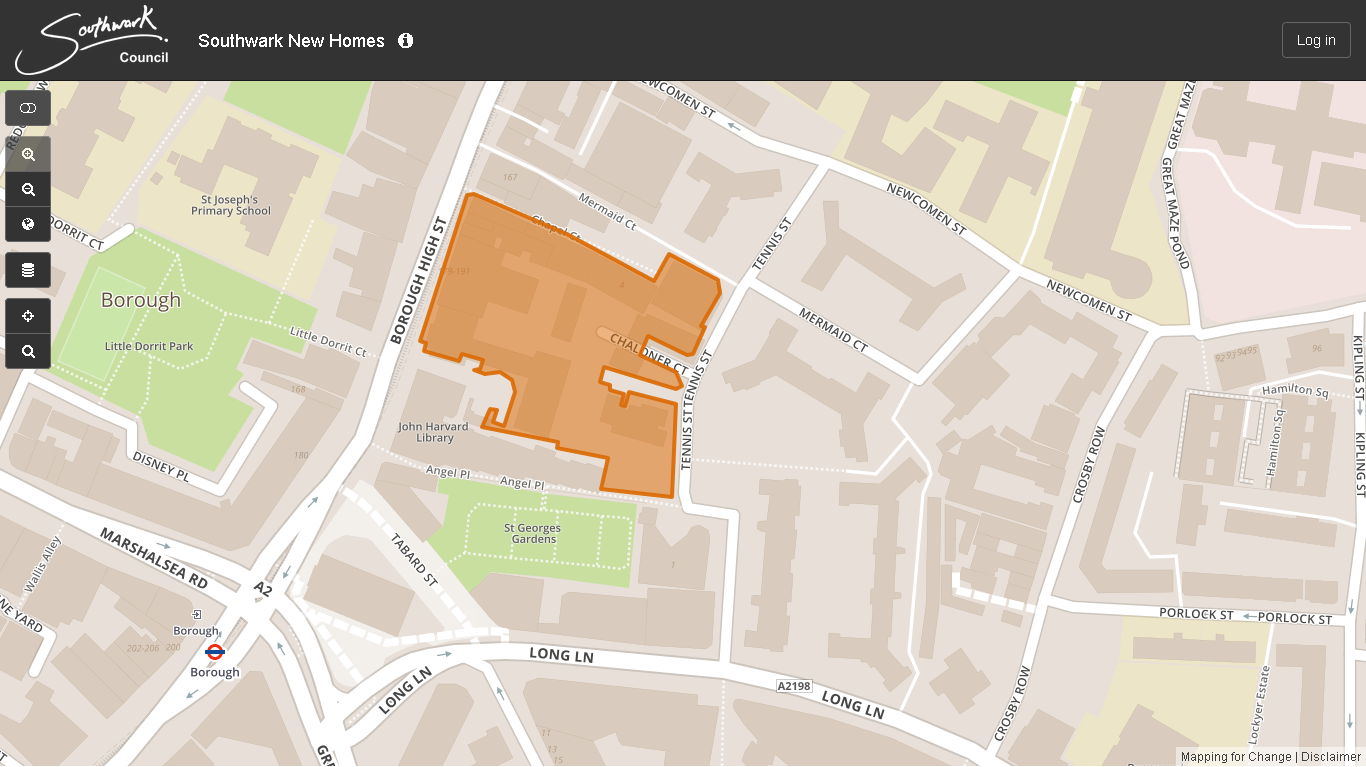
Southwark Council has now launched an interactive consultation map provides the opportunity to comment on proposed site allocations and/or suggest any new sites. This map also identifies all council estates which may be considered at a future point as part of the 11,000 new council homes delivery programme:
http://southwark.communitymaps.org.uk/#/welcome
Whilst the consultation on the New Southwark Plan concludes 6th March the interactive map will run into April/May.
NSP105, where Southwark ‘may be able to build more new homes.’
