![LeaseholderDisplacement1[1]](https://tabardnorth.org/wp-content/uploads/2015/02/leaseholderdisplacement11.png)
Heygate Leaseholder Displacement Map

Southwark Council has now launched an interactive consultation map provides the opportunity to comment on proposed site allocations and/or suggest any new sites. This map also identifies all council estates which may be considered at a future point as part of the 11,000 new council homes delivery programme:
http://southwark.communitymaps.org.uk/#/welcome
Whilst the consultation on the New Southwark Plan concludes 6th March the interactive map will run into April/May.
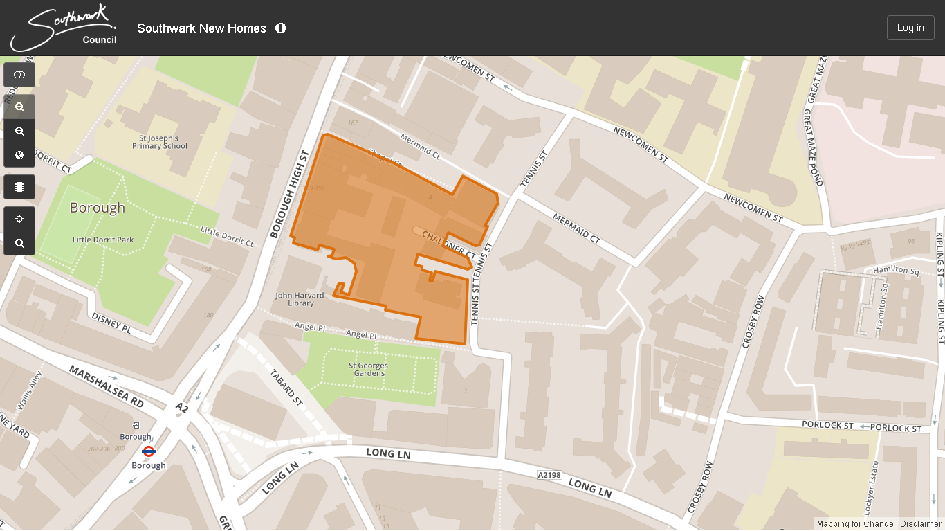
NSP105, where Southwark ‘may be able to build more new homes.’
 7
7The Council is reviewing the Southwark Plan and Core Strategy to prepare a local plan called the New Southwark Plan. This new plan will set out a regeneration strategy for the next 10-15 years and will be used to make decisions on planning applications. The Council have commissioned an interactive map which will be on-line from mid to late February that will allow interested parties to zoom in on sites and click on sites to provide any detailed comments. The Council have included NSP105 as a potential proposal site. At this stage the Council has not proposed any uses, but are simply identifying the land as a potential site for redevelopment


When and Where? 6.30pm-8.30pm, Southwark Council Offices, 160 Tooley Street, SE1 2TZ 7 The Council is reviewing the Southwark Plan and Core Strategy to prepare a local plan called the New Southwark Plan. This new plan will set out a … Continue reading
7
The Council is reviewing the Southwark Plan and Core Strategy to prepare a local plan called the New Southwark Plan. This new plan will set out a regeneration strategy for the next 10-15 years and will be used to make decisions on planning applications. The Council have commissioned an interactive map which will be on-line from mid to late February that will allow interested parties to zoom in on sites and click on sites to provide any detailed comments. The Council have included NSP105 as a potential proposal site. At this stage the Council has not proposed any uses, but are simply identifying the land as a potential site for redevelopment
